
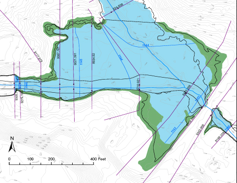
2d modeling a riparian wetland with an oxbow that will become a USACE mitigation bank.
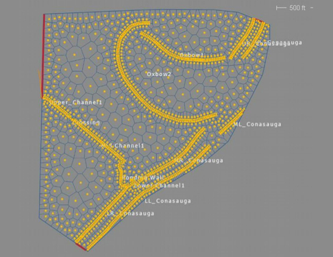
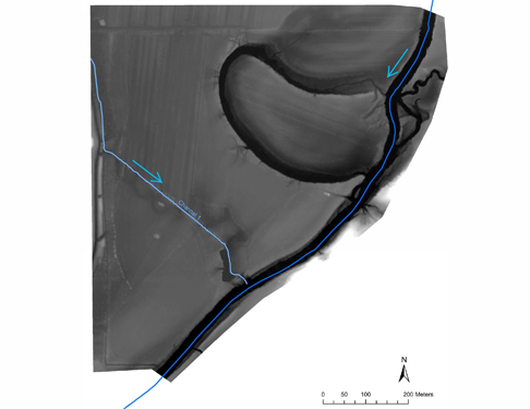
Assessing the feasibility of a wetland mitigation bank using 2d modeling in the Coastal Plain of East Texas.
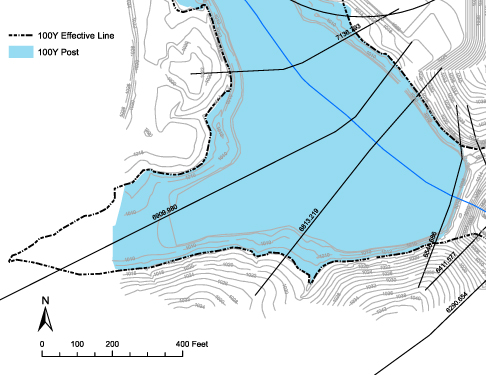
No-rise Certification where Pre and Post Water Surface Elevation comparison tables are probably more important than the Working Map
Working Map for a LOMR submittal on a public works project
CLOMR submittal for a stream restoration (daylighting/pipe removal) in an urbanized area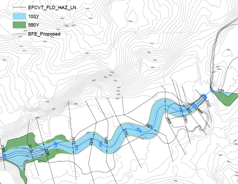
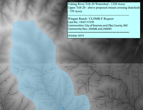
CLOMR-F request for a new culvert near Kearney Missouri
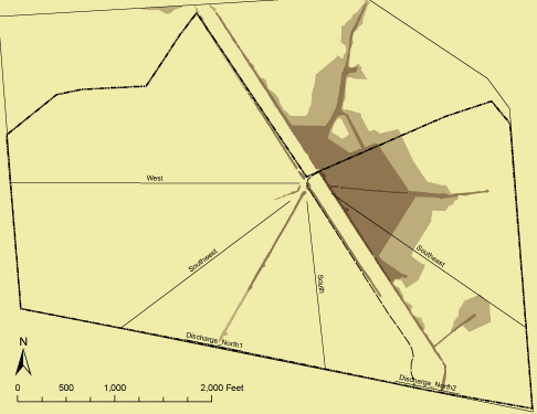
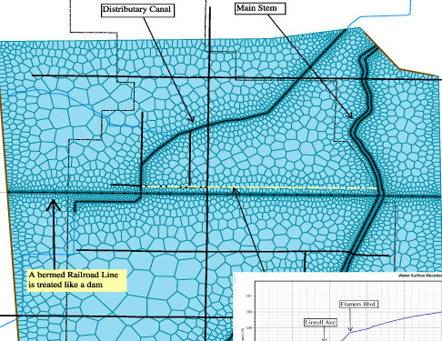
Using 2d modeling to find the BFE for a site plan within a dis-tributary system (canals) in California
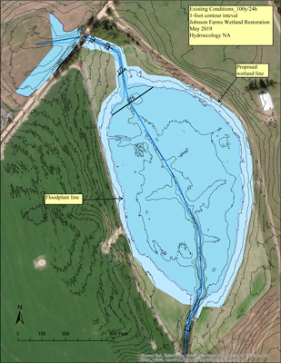
Wetland restoration on idle farmland where floodplain lines had
never been established
City of College Park Brady Trail
We designed this multi-use pathway along a tributary to Camp Creek on College Park land. It was an exercise in land reclamation as well. We carried it all the way to completion, which included the environmental assessment (stream buffers), negotiating a corner easement from a private property owner, and project management.
![]()
404-313-0059 | Hydroecology North America © 2021